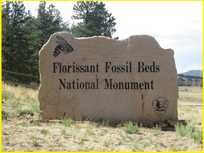
Florissant Fossil Beds
Florissant Fossil Beds is one of the most fascinating geological and paleontological sites in the world, located in central Colorado, USA. It preserves an ancient ecosystem from about 34–35 million years ago (Oligocene Epoch).
The Florissant Formation is a sedimentary rock unit exposed near Florissant in Teller County, Colorado. It is famous for its rich collection of exceptionally preserved plant and insect fossils, primarily found within layers of mudstone and shale. Argon radiometric dating shows that the formation belongs to the late Eocene Epoch, about 34 million years ago, representing an ancient lake setting.
The remarkable preservation of fossils resulted from the interaction between volcanic ash from the nearby Thirtynine Mile volcanic field and microscopic algae known as diatoms, which led to large-scale blooms. As these diatoms settled on the lake floor, they quickly buried and protected plant and animal remains. Gradually, fine layers of clay, mud, and ash built up, forming thin “paper shales” that preserve fossils in extraordinary detail.
The unique site is safeguarded as the Florissant Fossil Beds National Monument, established to protect and study its important geological features and fossil heritage.
Geology
Around 34 million years ago, the region was a lake surrounded by towering redwood trees. The underlying bedrock consists of ancient Proterozoic-aged Pikes Peak Granite. Above this lies a major unconformity, separating the granite from the overlying Wall Mountain Tuff.
Also Read- Avery Island: A Stunning Salt Dome and Wildlife Sanctuary in Louisiana
This significant gap in the rock record formed due to intense erosion during the uplift of the modern Rocky Mountains, an event known as the Laramide Orogeny. The Wall Mountain Tuff was later deposited following a massive volcanic eruption from a distant caldera.
The Florissant Formation is composed of alternating layers of shale, mudstone, conglomerate, and volcanic deposits, preserving the area’s rich fossil record.
The Florissant Formation is divided into six distinct units, arranged from bottom to top as follows: the lower shale unit, lower mudstone unit, middle shale unit, caprock conglomerate unit, upper shale unit, and upper pumice unit.
The shale units represent ancient lake (lacustrine) environments and consist of very thin, fossil-rich layers that alternate with volcanic tuff deposited during eruptions. In contrast, the lower mudstone unit is interpreted as a stream (fluvial) environment, with its upper portion formed by a lahar (volcanic mudflow) deposit. These mudstones accumulated on a valley floor rather than within a lake.
Also read- Geotourism And Modern Geotechniques
Fossils
The volcanic activity that caused widespread destruction ultimately played a key role in preserving the fossils within the shales and mudstones of the Florissant Formation. Ash deposited across the landscape was transported by water through streams and lahars into the lake. These lahars buried the bases of living redwood trees, allowing their trunks to harden and eventually fossilize.
Through the process of permineralization, mineral-rich groundwater moved through the tree trunks, gradually replacing the original organic material with silica. This transformation preserved the trees as petrified stumps, maintaining their structure in remarkable detail.
How to Reach Florissant Fossil Beds
Florissant Fossil Beds National Monument is located about 35 miles west of Colorado Springs, near Florissant, and is primarily accessed via US-24 West.
The monument is open daily from 9:00 AM to 4:30 PM, with the visitor center serving as the main entrance. Visitors can explore hiking trails such as the Petrified Forest Loop, view geological exhibits, and visit the historic Hornbek Homestead.


