
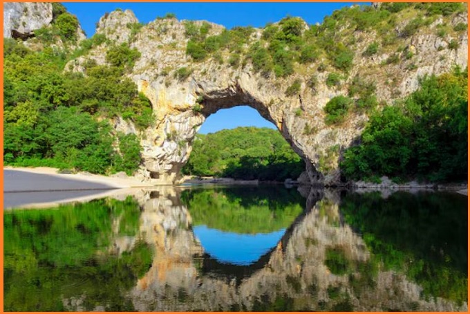
Loch Monar Polyphase Folding
Polyphase folding refers to the process in which rock layers are folded more than once due to repeated tectonic forces acting at different times. The area around Loch Monar in the Scottish Highlands is a classic geological example where this phenomenon is clearly visible.
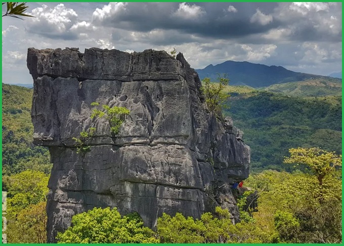
Structures in the exposed roots of ancient mountain belts often show remarkable complexity. The smooth, glaciated rock surfaces along the shores of the Loch Monar reservoir provide an excellent example, where these features are developed within the metamorphosed sandstones of the Moine rocks.
Location
Loch Monar is located in the Scottish Highlands and is mainly composed of metamorphic rocks. These rocks have been subjected to multiple episodes of deformation caused by tectonic movements during mountain-building events. Because of these repeated stresses, the rocks have developed several generations of folds.
Geology
A rock sequence exceeding 20,000 feet in thickness has been identified. Within this succession, rock bodies that were once interpreted as inliers of the Lewisian Gneiss are found at four different stratigraphic levels; however, the author considers them to be an integral part of the Moine Series.

The major folds in the region were produced during two distinct phases of deformation. The first generation of major folds trends approximately east–west, with axial planes dipping southward and fold axes plunging gently toward the west. A second generation of major folds, trending northeast–southwest with axial planes dipping to the southeast, was later superimposed on the earlier structures. These later folds refolded the limbs and axial planes of the first folds and distorted the earlier fold axes as well as associated minor structures.
Also Read- Lexington Arch: The Geology of Great Basin’s Limestone Arch
In areas where the limbs of the first folds dipped gently, they were refolded into gently southwest-plunging second-phase folds, whereas steeply dipping limbs of the earlier folds were transformed into steeply or vertically plunging second-phase folds. During this second folding event, some renewed folding also occurred along the axes of the first folds.
The microstructural fabric of the metamorphic rocks reveals cross-girdle patterns formed by the c-axes of quartz and the poles of the (001) planes of biotite, reflecting the rocks’ complex deformation history.
Also Read- Geotourism And Modern Geotechniques
Characteristics of Polyphase Folding
Geologists studying the Loch Monar area have identified three main phases of folding:
-
F1 folds – The earliest and oldest folds formed during the first deformation phase.
-
F2 folds – Later folds that deform or refold the earlier F1 folds.
-
F3 folds – The youngest folds that further modify the existing fold structures.
Because of these repeated folding events, complex fold interference patterns such as dome-and-basin structures can develop.
Geological Significance
The polyphase folding at Loch Monar is important because it:
-
Provides evidence of multiple tectonic deformation events.
-
Helps geologists understand mountain-building processes (orogeny).
-
Serves as a classic example in structural geology for studying fold evolution.

Scientific Importance
The Loch Monar region is widely studied to understand:
-
Fold interference patterns
-
Metamorphic deformation
-
Tectonic history of the Scottish Highlands
How to Reach Loch Monar Polyphase Folding
Loch Monar lies in the remote Scottish Highlands near Glen Strathfarrar in Inverness-shire. Travel to Inverness, the main gateway to the Scottish Highlands. Inverness Airport is the nearest Airhead. Nearest Direct trains can be taken from Edinburgh or Glasgow.


