The Largest desert in Asia “Gobi Desert”-Take a Geotourism around the extremely barren and rocky desert.
It is considered to be the 5th largest desert in the world and the first in Asia. A Mongolian vast zone of desert and desert steppe covers almost 30 percent of the Mongolian territory.
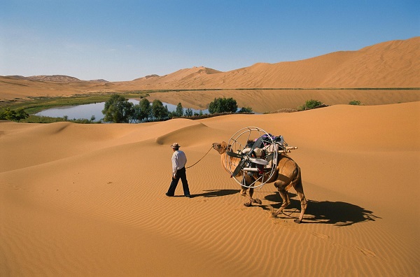
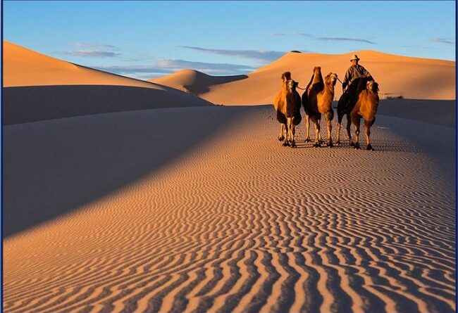
The desert is stony and nearly waterless, through salt marshes lie in the secluded depressions. The soil is grayish brown, contains gypsum and halite or rock salt. People always imagine the Gobi as a lifeless sandy desert but in reality, only 5% of the total area is sand dunes. Most of part of the Gobi Desert is a land of steppes, sands, mountains and it is the home for camel breeders, rich with wildlife and vegetation.
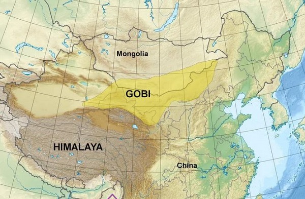
Geological Setup
The Gobi desert is composed of sediment from erosion of the volcanic rocks like-granite, basalt, and rhyolite as well as from ocean sediments. The ocean sediments are Chalk and other rock chiefly of the Cenozoic Age. Volcanic isolated hills are Older.
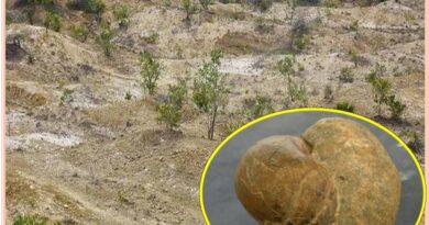
The terrain contains small masses of shifting sands. In the central Gobi, the remains of dinosaurs from the Mesozoic Era and fossils of Cenozoic mammals have been found. The desert also contains Paleolithic and Neolithic sites occupied by ancient peoples. These Sites produced artifacts up to 35,000 years old.
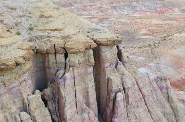
Many Geo-scientist believe that the Gobi was the ocean Bottom. Indeed, before Mongolia, there were many oceans including the Tethys Ocean. This ocean is being closed during the Central Asian orogenic Belt (CAOB); many relics are visible in the Gobi desert. Fossilized coral heads, ‘sea lilies’, and various shells found in the Gobi Altai province.
Also read- “The hidden Cave of Meghalaya”- Take a Geotourism around the longest natural cave in the world
During different geological periods, deposits of marine sediments are deposited at the bottom of the oceans. Thus, it is possible to observe on an outcrop of the different strata of sedimentation. This has a strong interest to understand the geology and climate of the time. If you have a large thickness of sediment during a period, this means that there was strong active erosion. As suggested in this limestone strata from the Gobi.
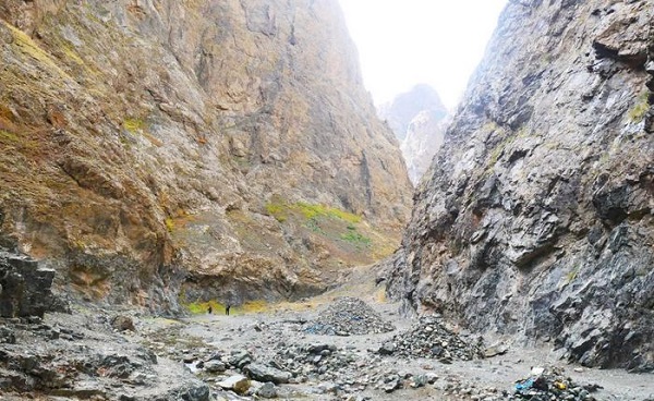
Continental Desert
The Gobi desert is considered to be a continental desert. That means there is a variation in temperature between summer and winter high. The winters are cold (-40° C), while summers are often very hot (+ 50 ° C). The reason for this climate change is that it is immune from a mountain barrier (the Himalayas), which blocks the depressions from the Indian Ocean. So the masses of humid air pouring their rain on the side in direct contact with the wind.
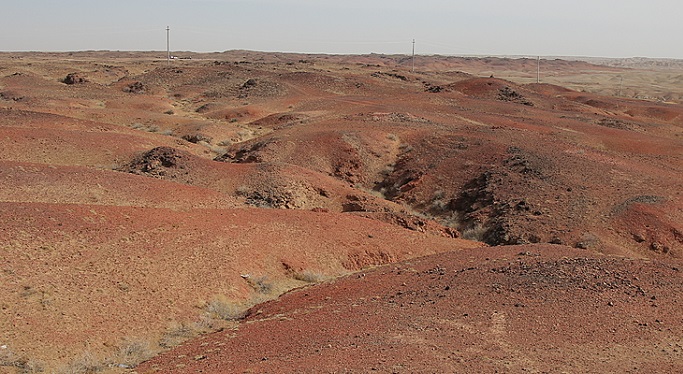
On the other side being sheltered from the wind, water bodies there have a low access, preventing the arrival of rains. We call this phenomenon, ‘shadow rainfall’. The rainfall of the Gobi is 154 mm rain per year.
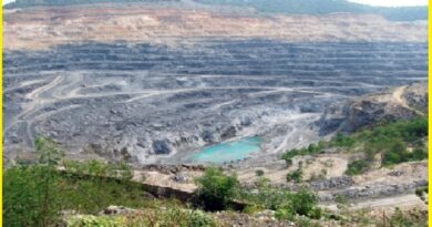
The Gobi Desert is not only famous for dinosaur species but also well known for its rich natural resources. The Gobi Desert is rich in copper, gold, Salt, and coal deposits. Oyu Tolgoi is the world’s third-largest copper and gold mine.
Flaming Cliffs is a famous tourist attraction in the Gobi desert and famous all over the world. In the 1920s an American researcher found dinosaur eggs, a rhino-like huge dinosaur skeleton, and a parrot-nosed dinosaur in this place.
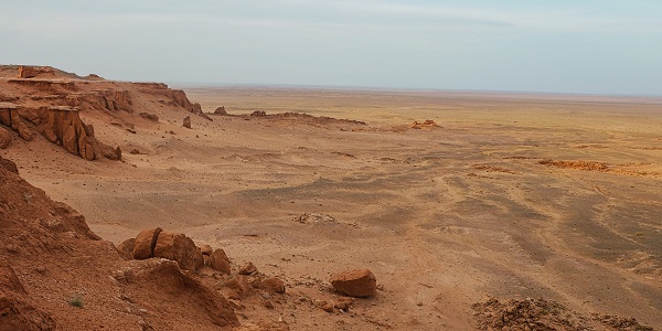
The Khongor sand dunes are other tourist attractions in Gobi Gurvan Saikhan National Park. The dunes are 27 km at their widest covering 965 square km in total reaching 200 meters in height.
