Gangani Canyon
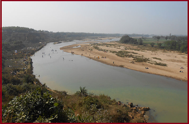
Gangani, located in the south-western corner of West Bengal, is nearly 22 m. deep natural canyon carved by the River Shilabati. Due to its look and size, the place is popularly called the Grand Canyon of Bengal. It’s a fascinating gorge made of Lateritic soil on the banks of the River Silabati. Years of soil erosion by wind and the river have carved and chiseled the gorge into a row of jagged cliffs with white sandbanks, making it look beautiful and uncommon.
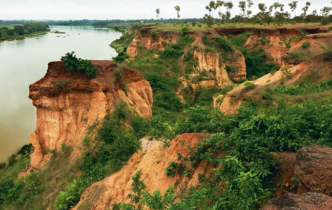
Lateritic soil of the area Weathered by the water channels and the wind over centuries. Now the landscape exhibits myriad formations, from sheer cliffs to earth pillars to caves, and others, which will remind you of the Grand Canyon of Colorado. Depending on the various stages of geological erosion, the color of the Surrounding area varies from red to yellowish-brown. Due to the sunlight in the early morning and late afternoon, the rocks throw up a kaleidoscopic play of colors.
Geology (badland topography)
The Gangani canyon or Badland topography is on the south bank of the Shilabati River. Interestingly, the opposite bank has none of this dramatic landscape. Instead, it is a picture of a typical flat plain countryside of South Bengal. Formed during the Pleistocene period with a hard lateritic layer on the top, Gangani badland is famous as the ‘Grand Canyon of Bengal’. Gangani Canyon consists of escarpments, caves, pinnacles, mesas, and butte-like structures.

Badlands in the lateritic zone are nothing but a product of the action of running water forming rill and gully channels. The depth of gullies varies between 10 and 20 m, and the shapes of the gullies are V or U-shaped, with maximum sidewall slope angles of 85°. The right bank of the Silabati river is about 25 m in average height above the river bed, while the left bank of the river is a featureless plain area.
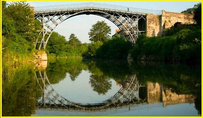
Also read- The Magnificent Water Pocket Fold: A Geological Wonderland
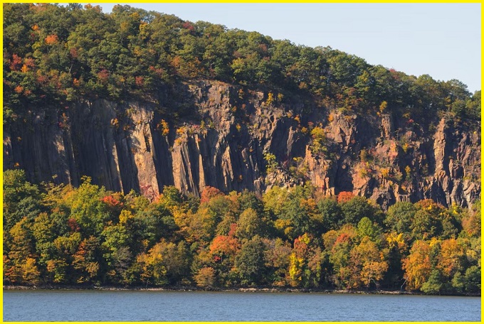
‘The Grand Canyon of India’-A hidden gem and ultimate natural wonder in Indian geography
This Pleistocene lateritic upland of fluvial origin, covering an area of 3.5 km2 famous for amazing ravine development on the concave right bank of the Silabati river. In the dry months, the water is mostly knee-deep, but in the monsoon, the river often overflows into the recesses of the gorge.
often fishermen wade in the ankle-deep water and cast handheld nets to catch fish in the river. “The nearby towns and villages get their fish from this river. River Silabati is a lifeline for several surrounding villages. The groves of palm trees on its banks, as one stands above the red hills, look mesmerizing.
The promotion of geotourism in Gangani badlands opens up a new horizon in the use and management of badlands, from which economic benefits could be transmitted to the community.
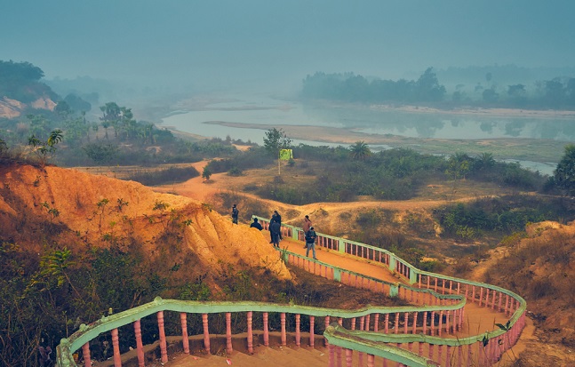
The local municipality has developed steps for visitors to go down through the gorge, several stories deep, that the river has carved out over the years. As one descends, the colors change to various hues of yellow.
How to reach
Gangani is located in the Paschim Medinipur district of West Bengal. The nearest gateway is Garbeta town, about 2 km away from the canyon. Garbeta is connected to Kolkata by road (180km) and rail (South-eastern Railway).
Read- Geotourism And Modern Geotechniques
Road head: It is in Garbeta of West Midnapore and a 45 minutes-drive from Bishnupur. Or take NH6 from Kolkata to Uluberia via Bagnan.
Train head: The nearest railway town is Garbeta, which has its own railway station. Rupashi Bangla Express takes you to Garbeta Station in a few hours.
The wonderful association of landforms with the awe-inspiring character of Gangani topography offers the scope of advancing education and tourism hand in hand under the package of geotourism. Badland topographies found in the western region of West Bengal provide immense possibilities for geotourism in the context of the Gangani Grand Canyon.


