Fjord system of Spitsbergen island in Svalbard archipelago, Norway
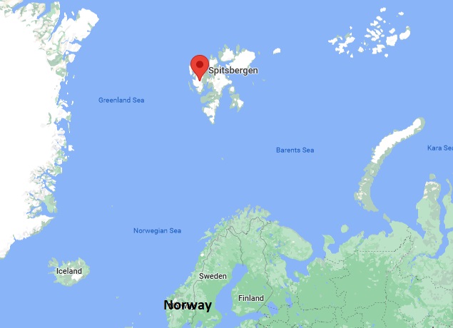
Spitsbergen Norway has human settlements on coastline or fjords of the west coast and almost a third are immigrants, originally hailing from more than 50 countries from all around the world. Citizens of any country are welcome to settle in Svalbard without a visa as long as they have a job and a place to live. None of the settlements are connected by road. Airplanes and helicopters are used year-round. Snowmobiles and boats are also used as conditions allow.
Geology
The Spitsbergen topography is characterized by rugged mountains, with steep flanks, as well as large, glacially eroded fjord systems. The highest mountain peak is Newtontoppen, in north-eastern Spitsbergen.
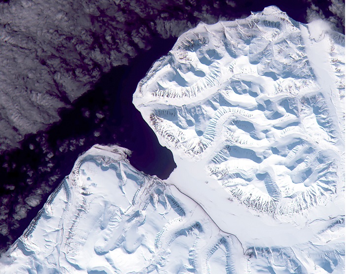
It is a low-land plain along the coast, partly covered by marine deposits and presumably formed due to the combined actions of frost weathering and abrasion by the sea during interglacial periods. It may be more than 10 km wide in places. Raised beaches and post-glacial marine terraces commonly occur along the coast.
Svalbard has a very rich, diverse, and long geologic history that makes it somewhat of a ‘mecca’ for geologists; a place where a great variety of geology can be studied and where much can be learned about the development of tectonic features and sedimentary environments through time as well as the drift of continents across the Earths surface. The Whole Paleozoic sequence can be seen here.
Liefde fjorden Spitsbergen
Liefde fjorden is a fjord in Haako, Spitsbergen. It has a length of about 30 km. At the northern side of the outer part of the fjord is the peninsula Reinsdyrflya situated.
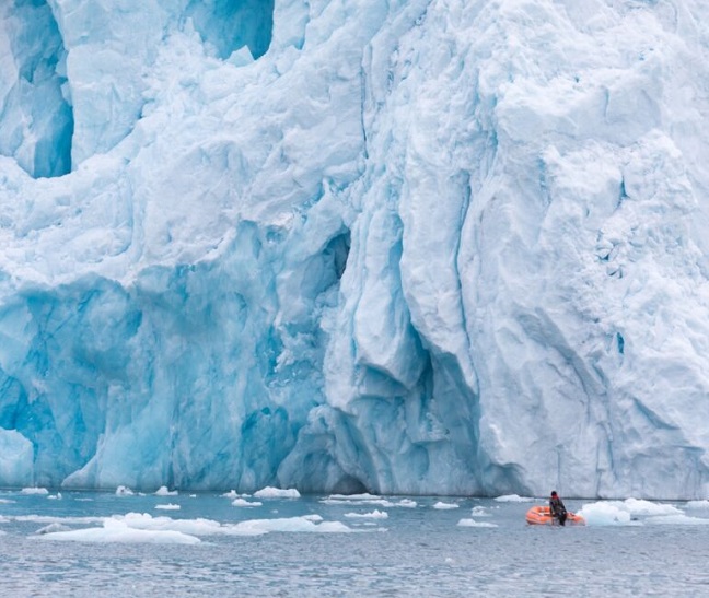
Spitsbergen island
The Dutch explorers were the first to document their visit while trying to find the Northeast Passage to China in 1596. In the following centuries walrus and whale, hunters come from England, Denmark, France, Norway, Sweden, and Russia.
In 1906, American businessman John Munro Longyear established the archipelago’s first coal mine that is Svalbard’s primary industry during most of the 20th Century. In modern times the main activities on Svalbard are tourism and environmental and ecological research.
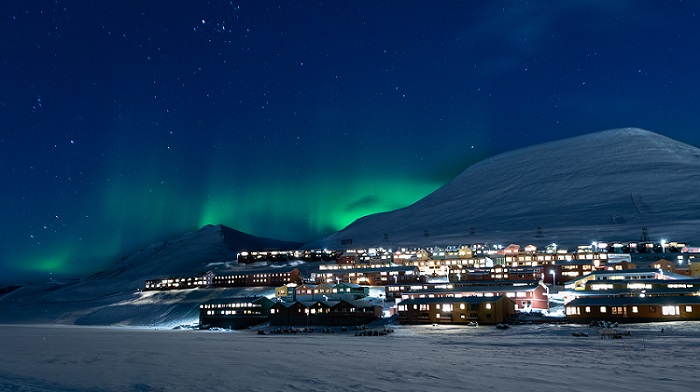
Spitsbergen northern lights
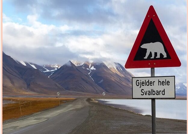
In Longyearbyen Svalbard, you will find a rugged landscape of fjords, glaciers, and mountains. More polar bears than people and Polar Nights from November to January. While experiencing no sunlight and an average high of 6.8 degrees Fahrenheit for 3 months might sound the whole world to visit Spitsbergen, the only inhabited place on Earth where you can see the Northern Lights or Aurora Borealis in the middle of a winter’s day. The winter sun never rises more than six degrees below the horizon. This makes the area even more exciting to Geo-tourist.
Spitsbergen activities
With an incredible untouched Arctic landscape and fascinating wildlife, Spitsbergen is a popular tourist attraction among outdoor enthusiasts. Geo-tourist gets to take part in other activities while being in Spitsbergen land. Look for the Aurora Borealis, including dog sledding, snowshoeing, riding Snowcats, and exploring ice caves.
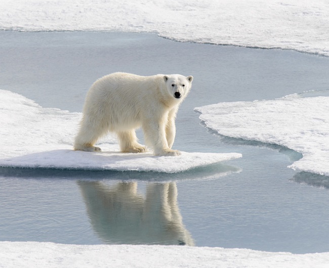
Longyearbyen Svalbard features polar bears, reindeer, and marine mammals. Seven national parks and twenty-three nature reserves cover two-thirds of the archipelago, protecting the largely untouched and natural environment. Sixty percent of the archipelago is a glacier, and the islands feature many mountains and fjords. Spitsbergen map showing the Group of Island.
Also, read- The Lonely and Coldest Inhabited Place On Earth-Oymyakon Russia
If visitors are Spitsbergen trips or cruise to Spitsbergen, chances are your ship will have sailed into the waters around Nordvest-Spitsbergen National Park. The park contains glaciers, fjords, warm springs, remains of volcanoes in Bockfjorden, and an important birding area. At 80 degrees north latitude, the hot springs are the northernmost known hot springs on the planet.
Nordvest-Spitsbergen is also homes to important cultural heritage. This includes former whaling stations, graves dating from the 17th century, and remains of several Arctic expeditions.
How to get Spitsbergen Norway
To reach Spitsbergen foreign tourists can fly via Norway. Regular flights serve Longyearbyen from Oslo and Tromso. Although citizens of many countries can visit Svalbard, you may still require the right to visit Norway in order to reach Spitsbergen.
