Engineering geology and site investigation for a project
INTRODUCTION
Engineering geology is a broad subject in terms of Engineering Investigation of Rocks. It is the application of geologic science to engineering practice for the purpose of design, construction operation such as road construction building construction, dam, and bridge construction and its maintenance. The engineering structure depends on the characteristics of soils and rocks as construction materials and their suitability to withstand loads applied by structures of various types. Lack of information about Rock and soil would affect the suitability and performance of any engineering structure.
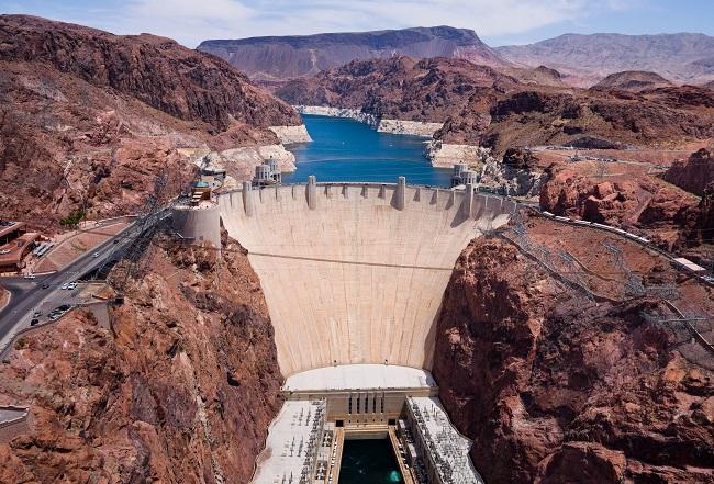
The following field methods to be used in any engineering construction before any boreholes or trial excavation-
Mapping
in Engineering geology Mapping is required for a concern area is to produce more generalized regional engineering geological maps (with a scale of 1:10,000 or smaller), or detailed and specific engineering geological plans (scale larger than 1:10,000). The most elementary survey procedures involve various forms of sketching, the pace or tape, and compass bearing method, numerous variations on plane table tech, terrestrial and aerial photogrammetry is employed for the initial mapping.
Geotechnical mapping
The main objective of the conventional geological maps is that rocks of different engineering properties can be identified separately, is it a single unit or belonging to different units. It is also necessary to identify whether the rock is of the same age or origin or different, which can be marked on the geological map in different colors, These maps lack quantitative information like physical properties of the rocks, the amount and types of discontinuities present, the extent of weathering and the groundwater conditions.
Unique weight loss medicine-click here
A geotechnical map produced by an engineering geologist defines units by their engineering properties. Unit boundaries may follow geological or geomorphological boundaries. Types of maps produced include geological maps with added engineering information and maps in terms of engineering rock or soil classification. Techniques employed in geotechnical mapping are as follows-
Stratigraphic mapping
The main purpose of stratigraphic mapping is to observe, measure and record stratigraphic relationships. It consists of description in engineering terms, lithological characteristics of the soils and rocks encountered on the site, lateral variations, and thicknesses. Outcrop or grab sampling data and petrographic or test laboratory purposes may also be carried out at this stage.
Structural mapping
The importance of discontinuities (Folding, Faulting, and joints) in soil and rock masses with regard to their engineering behavior is very important. The exact measurement of the orientation, frequency, continuity, and nature of discontinuities is vital in all field mapping exercises. Geological Data of discontinuing strata like fault angle, degree of folding, type of folding, joint plane are plotted or recorded for subsequent examination by computer or stereographic techniques.
Physiographic and geomorphological mapping
For the development of physiographic features in the surrounding area geological and geomorphological, the study is very important to the engineering geologist. When the regional and local physiography and geomorphology have been correctly recorded, interpretation and data analysis must be done in understanding the engineering geology of the area.
Unique weight loss medicine-Click here
Hydrogeological mapping
Hydrogeological mapping reveals great engineering significance on certain sites such as groundwater basins, artesian overflow areas, groundwater movement (quantity and speed), and groundwater chemistry. The hydrogeological properties of the soils and rocks, together with the identification of aquifers and aquicludes also included in this map.
Disturbed Area by Human activity
Area, where extensive mining, quarrying, or investigation activities are being carried out all open workings mines, should be filled out. All mining subsidence and the ground disturbed areas should be demarcated, dated, and described as fully as possible.
Also, read- Petroleum Geology and Petroliferous basins of India
Air photo interpretation
Air photo interpretation is an important factor to provide more accurate information around the construction area than a simple geological map. Air photographs (Photogrammometry) are not only useful to engineering geologists for their interpretive potential but are also most useful in indicating routes of access and providing base maps for field mapping or sketching.
Photo-geology can provide data about soil and rock types, variations of hydrogeological conditions, geomorphological features, borrow or spoil material, agricultural land use data, information relating to man-made features, and much other valuable data.
Lose your weight with perfect shaped-click here
Geophysics
The geophysical methods are an important aid to engineering geological survey, however, their application to civil engineering should not be regarded as an independent means of site investigation. This method should be applied only where specific known geological data is available, then forming a useful tool to interpolate and extrapolate between boreholes. The most favorable conditions for their use are when rock occurs under shallow superficial deposits and the physical characteristics of the individual strata are different.
The four main geophysical methods used are. Gravimetric, magnetic, electrical, and seismic techniques.
Source- Cdn.ca.emap.com, Researchgate.net
