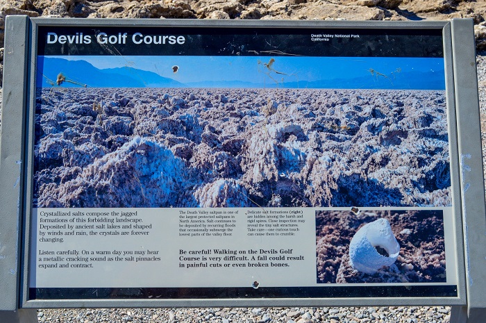
The Death Valley National Park definitely looks the most hellish. The salt pan is so incredibly scattered that the 1934 National Park Service guide book to Death Valley National Monument stated that ‘only the devil could play golf on its surface. After that, the salt pan came to be known as the Devil’s Golf Course.
How Devil’s Golf Course forms
Nearly 0.15 million years ago, the present-day salt pan was the site of a large, deep lake caused by snow and melting glaciers as far away as the Sierra Nevada. Known as Lake Manly, this body of water reached depths of 600 feet. During this period, the majority of the salts that comprise these formations entered the area. At the end of the last Ice Age (about 10,000 years ago), climate change initiated a period of evaporation drying up this lake.
Then for a brief period, during the Holocene 2,000 to 4,000 years ago, the climate was again much wetter and another shallow lake formed primarily from snowmelt in the surrounding mountains and the drainage of the Amargosa River. This time the salt pan flooded to a depth of about 9 m. The climate warmed again, rainfall declined, and the shallow lake began to dry up. As the water evaporated, minerals dissolved in the lake became increasingly concentrated, eventually leaving a thick salty pool on the lowest parts of Death Valley’s floor.
Also read- Akal Fossil Wood Park, of Jurassic World Jaisalmer
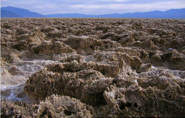
While the salt pan at Badwater periodically floods, then dries, Devil’s Golf Course lies in a part of the Death Valley salt pan that is several feet above flood level. The silty salt at Devil’s Golf Course grows into fantastic, intricately detailed pinnacles. The pinnacles form where salty water rises up from underlying mud.
Capillary action draws the water upward where it quickly evaporates, leaving a salty residue behind. The pinnacles grow very slowly, perhaps as little as an inch in 35 years. Wind and rain continually sculpt the salty spires into fascinating shapes.
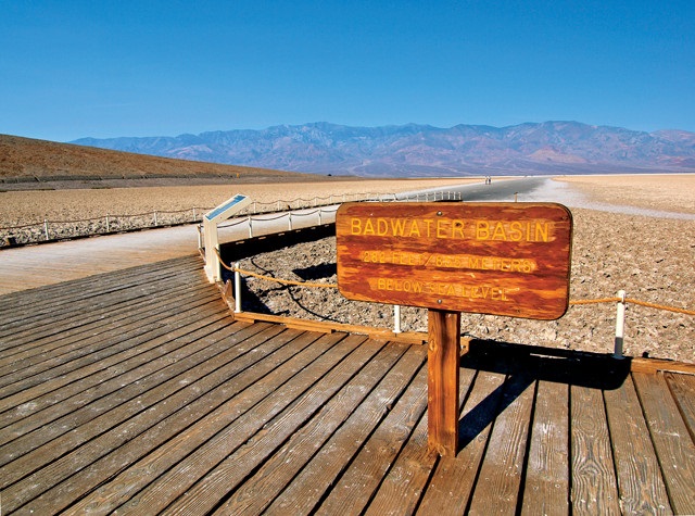
The Badwater
The Badwater Basin is a salt flat adjacent to the Black Mountains that descends to the lowest elevation in North America at 86 m. below sea level. The massive expanse of Badwater is made up of almost pure table salt. Unlike at the Devils Golf Course, significant rainstorms flood Badwater, covering the salt pan with a thin sheet of standing water.
Amargosa Chaos
The Amargosa Chaos is a series of geological formations located in the Black Mountains in southern Death Valley. Geo-scientist studied the faulting and folding in the area. Amargosa chaos name derived due to the extreme warping of the rock. Later researchers discovered that the region had experienced substantial tension that pulled large blocks of crust apart.
Dante’s View
Dante’s View is a higher elevation from where one can see the central part of Death Valley. It is 1,700 m above sea level. From here Badwater Basin can be seen, which contains the lowest dry point in North America. Telescope Peak can also be seen from here which is 3,454 m above sea level. This is the greatest topographic relief in the conterminous U.S.
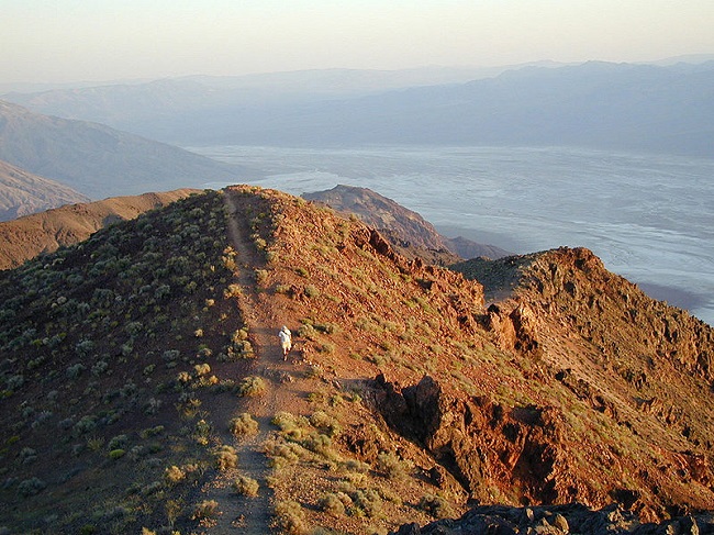
The mountain that Dante’s View is on is part of the Black Mountains which along with the parallel Panamint Range across the valley from what geologists call a horst and the valley that is called a graben.
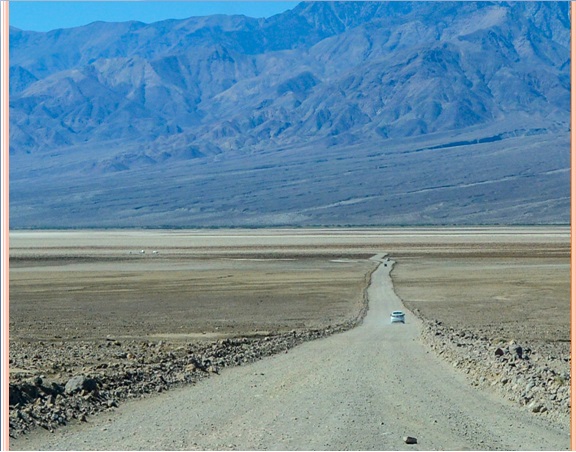
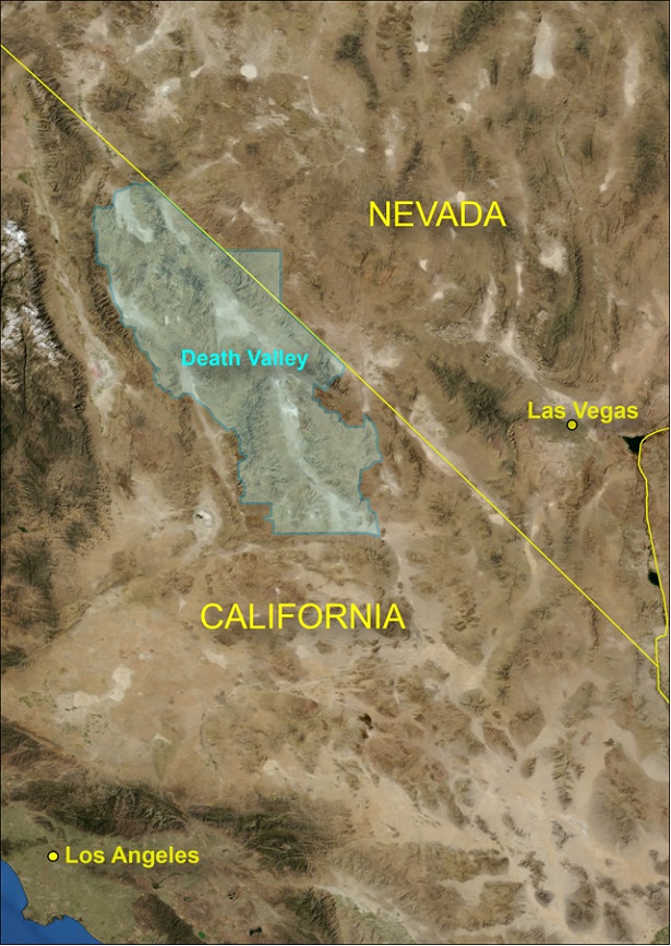
The Devil’s Golf Course is located on Salt Pool Road which is just off of Badwater Road; around halfway between Furnace Creek and Badwater.


