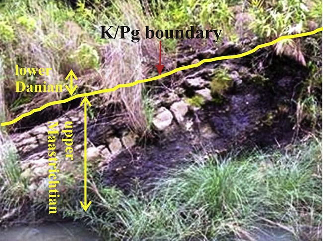
K-T Boundary mass extinction, Therriaghat river section, is probably one of the best-preserved and most complete Cretaceous-Palaeogene K-T Boundary sections in India. Most of the large vertebrates, plankton, and many tropical invertebrates suddenly became extinct at the end of the Cretaceous period. Recently, a new assemblage of ammonites has been recorded which probably represents a few of the last representatives just before the mass extinction in which the complete Sub-class Ammonidea were extinct.
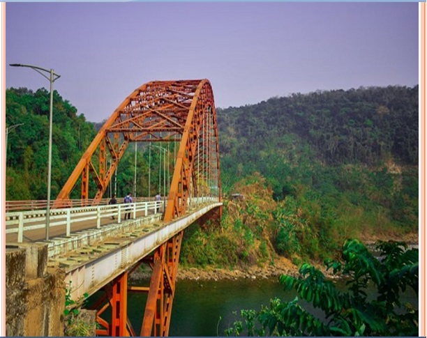
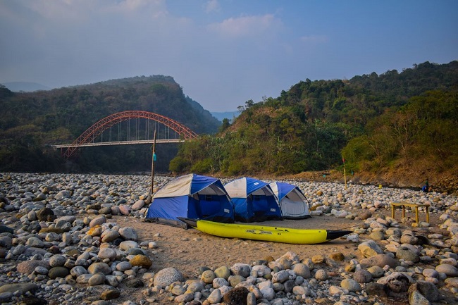
The Therriaghat Um Sohryngkew river section in Meghalaya is well known for having the most complete Cretaceous-Palaeogene boundary transition in India, which is indicative of the age when dinosaurs went extinct.
Introduction
Cretaceous/Palaeogene boundary transition is one of the major mass extinction events that occurred in the past history of the earth. Several theories put forward to explain these events like-asteroid impact, Deccan flood basalt eruptions impact triggered Deccan volcanism and sea-level fluctuations.
Earlier studies considered Deccan volcanism (in India) as an extinction driver leading to major environmental impact (K/T mass extinction) which includes acid rain, Sudden global cooling, and long-term global warming.
Also, Read- The Reiek Tlang: A cuesta formed hill station Overlooking The Plains of Mizoram
The Chicxulub impact originated dynamic stress (in the form of Rayleigh waves) was sufficiently large enough to trigger volcanic eruptions worldwide and that also accelerate Deccan volcanism which led to the mass extinction.
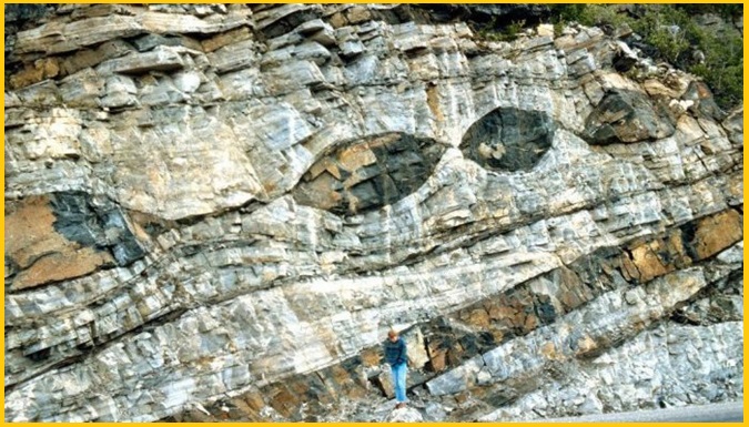
Cretaceous/Palaeogene boundary, Therriaghat
A layer-wise study of clay minerals associated with the continuous late Maastrichtian-early Danian Um Sohryngkew river succession and on the basis of the planktonic foraminifera, found in continuous shallow marine Um-Sohryngkew river section, revealed the presence of illite, kaolinite, and montmorillonite mixed layer complexes which show remarkable changes in the lower to the upper part of the succession.
This type of clay mineral forms by various processes such as low degree of hydrolysis, burial diagenesis of the clay-rich sediments, and hydrothermal alteration of volcanic tuffs.
Apart from this the origin, transportation, and deposition together with the emplacement of the ophiolite suite along the subduction zones, where plate collision occurs along the Himalayas and the Arakan Yomas contributed to sea-level rise. The fluctuating sea level during the KPB transition must have triggered variation in the clay mineral assemblages of the boundary section.
The clay mineral assemblages of this area reflect the continental type of morphology and tectonic activity, climatic evolution, and associated sea-level fluctuations.
Naturally occurring layered clay minerals are sensitive to environmental changes. Thus, relative changes in the clay mineral content are considered as a potential palaeo-environmental recorder and mass extinction in the Cretaceous period.
Geology of the area
A continuous KPB section lies in the Langpar Formation in a horst type of structure in the state of Meghalaya, northeast India. Primarily, it consists of Precambrian gneiss complex and meta-sediments. The Recent alluvium is followed by the fold-thrust belts of the Assam-Arakan Yoma and the Tibet-Arunachal Himalaya, respectively.
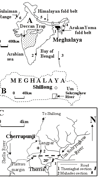
The Cretaceous/Paleogene shelf strata occur in the form of an E-W trending narrow belt in the southern part of the plateau and the Assam-Arakan Yoma fold-thrust belt lies in the east. A very well-developed planktonic foraminifers’ assemblage is reported from the shelf sediments.
In the Therriaghat section, the Langpar Formation is very well exposed on the west bank of the Um Sohryngkew River at a distance of 1.5 km in the upstream direction of the Therria village. It occurs as an uninterrupted 63 m thick shale-siltstone succession and dipping 25°–30° towards the south.

