Victoria Waterfalls
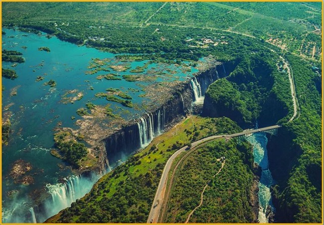
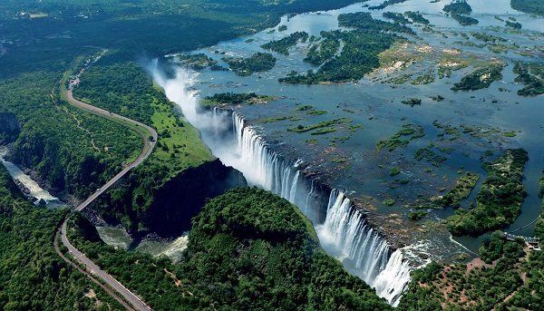
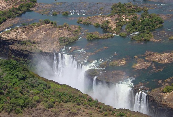
Victoria Waterfalls is a magnificent waterfall located about midway along the course of the Zambezi River, at the border between Zambia and Zimbabwe. This waterfall is twice as wide and twice as deep as Niagara Falls. The uniqueness of the waterfall is that it spans the entire breadth of the Zambezi River at one of its widest points, 1,700 meters. At the falls, the river plunges over a maximum drop of 108 meters.
In the Tsonga language, the name for Victoria Falls is Mosi-oa-Tunya: ‘the smoke that thunders’. The enormous volume of water colliding with the rock makes a spectacular height of 108m. Victoria Falls show a breathtaking sight of awe-inspiring beauty and grandeur. Victoria Falls is the largest waterfall in the world, with a length of more than a kilometer and a height of more than a hundred meters.
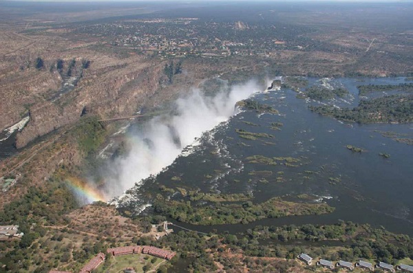
The heart-beating noise of Victoria Falls can be heard from a distance of 40 kilometers, while the spray and mist from the falling water rise to a height of over 400 meters and can be seen from a distance of 50 kilometers. Perhaps that’s the reason local tribes used to say the waterfall Mosi-o-Tunya, “The smoke that thunders”.
Geology of the Victoria Waterfalls
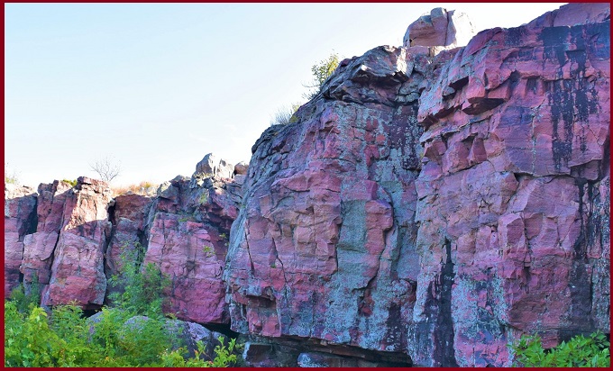
The lush rainforests of southern Angola supply ample water to the Zambezi River. The waterfall is located on Atoka Basalt, which is part of the approximately 180 million-year-old Karoo Large Igneous Province. The basalt was laid down during million years of gentle volcanic eruptions. The basalt in the fall area is up to 300m thick and forms a geological “island” in the surrounding field. Basalt formation stretches some 200km from Kazangulu on the Botswana border to the Matetsi River in the Batoka Gorge.
Victoria Falls is a UNESCO World Heritage Site. The Waterfalls were formed in a zone of crustal faults. On the crest of the fall, numerous islands divide the main flow into several branches during floods.
The waterfall was unpopular until 1905, when a railway to Bulawayo was constructed. Since then, Victoria quickly gained popularity. In mid of the mid-20th century, the number of tourists started to decrease due to the guerrilla struggle in Zimbabwe. After Zimbabwe gained independence, the Victoria Falls started to attract a new wave of tourism.
Also, read- Ruby Waterfalls Tennessee-An Underground wonderland
Victoria Waterfalls National Park
Victoria Waterfalls come under the National Park area. You can hear the roar of the falls at the entrance, but the cataract is still hidden by the dense vegetation. A 200m walk along a cobblestone path quickly brings you to the incredible views. The best Viewpoint of Victoria waterfall is the western end along with the trend of the joint. You can see from here east along the length of the mist-filled chasm, this area is also known as the First Gorge.
The British explorer David Livingstone was the first European to see the falls in 1855. He named the Waterfall for Queen Victoria of the United Kingdom. The surrounding Victoria Falls National Park of Zimbabwe and Mosi-oa-Tunya National Park of Zambia abound with large and small game and offer recreational facilities.
Read- Geotourism And Modern Geotechniques
How to reach Victoria Waterfalls
To reach Victoria Falls (Mosi-oa-Tunya), you’ll typically fly into a nearby airport like Victoria Falls (VFA) in Zimbabwe or Livingstone (LVI) in Zambia, connecting from major hubs like Johannesburg or Nairobi, then take a short taxi/shuttle to the falls themselves; the Zimbabwe side offers more extensive viewpoints, while the Zambian side provides close-up spray experiences. From the airport, it’s a short transfer to your hotel and then to the national park entrances for self-guided or guided tours.