
Sand Volcanoes
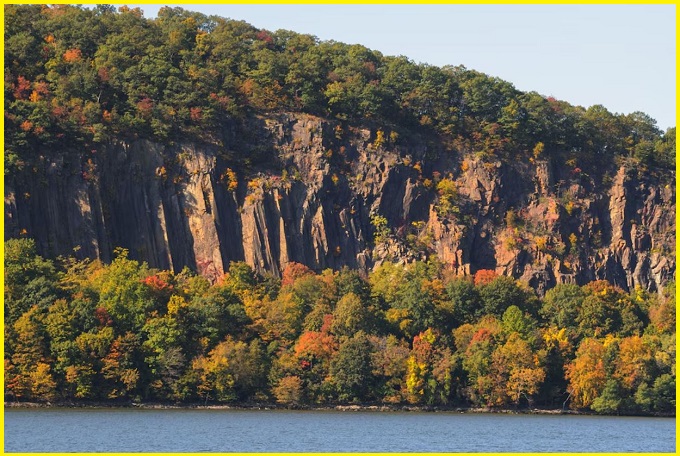
The “sand volcanoes” near Kilkee are Carboniferous-period geological formations of extruded sand and silt, not actual volcanoes. They were created by massive underwater landslides (slumps and slides) in the Namurian Basin of County Clare, where they are a key part of the area’s geological history.
The base of the Namurian (Upper Carboniferous, 298–323 Ma) is defined by deep-water marine shales known as the Clare Shales Group, which are overlain by sandstones deposited by submarine fans. The upper surface of these sandstones contains sand volcanoes, impressive dewatering structures discovered in the 1950s.
These features formed when fine-grained, suspended sediment was extruded due to the compaction of the underlying layers. The presence of these sand volcanoes and slumped horizons within the succession strongly suggests both high rates of basin subsidence and sedimentation.
National Heritage site
The rocks belong to the Gull Island Formation, which is marked at its base by the Fisherstreet Slide. The occurrence of sand volcanoes in this location, as well as at Doonaha, provides further evidence of sedimentary instability during the formation of these layers. Due to its geological importance, the Doonaha site has been designated as a County Geological Site and is recommended for National Heritage Area status under the IGH3 (Carboniferous-Pliocene Palaeontology) and IGH9 (Upper Carboniferous and Permian) themes.

What are Sand volcanoes?
The Formation of sand volcanoes, not actual volcanoes, but it is formations of extruded sand and silt. The process is driven by the loading effect of mud-rich slumps, which causes rapid compaction and dewatering of the underlying sediments. The expelled fluids move into the slump’s most permeable sand bodies, fluidizing the grains and forcing them to the surface, where they are extruded at the sediment-water interface. While extrusion often results in a widespread sand and silt sheet, the volcanoes mark the focused sites of this expulsion. Microtextural analysis indicates that this process involved several short-lived episodes of fluid and sediment expulsion, evidenced by alternating normally graded silt-to-sand beds and intervening thin, clay-rich layers (which may be background sediment or part of the extrudate).
Also Read- Dun Briste-The Rugged Sea Stack of County Mayo’s Ireland
Location
The sand volcano cluster, approximately 7m in diameter, was discovered atop mass-wasting deposits in the Carboniferous Ross Formation of western Ireland. Sandstone dikes, emanating from sandstone units beneath the slumped intervals, were observed near the volcanoes.
Data analysis revealed that individual volcanoes were composite structures, with smaller, early cones having been overwhelmed by a later, dominant cone during deposition. The volcanoes were sourced via feeder dikes that were traced through slump horizons back to the underlying in-situ sandstones.
Also read- Business Leaders Success Story
How to reach Sand Volcanoes, Kilkee
To reach the sand volcanoes in Kilkee, head to the seaside cliffs near Kilkee, County Clare, Ireland. You will find these geological formations along the coast, with access to the sand volcanoes being part of the Kilkee Heritage Trail and areas like the Pollock Holes. It’s important to time your visit to the Pollock Holes, as it is only accessible around low tide.


